| My Eastern UP day trip began about 9 AM when I headed across the fog
enshrouded Mackinac Bridge and north on I-75 to M-28. The sky was heavily
overcast and although it never rained hard, the longest period without
at least a light mist was only about 25 minutes. The temperature stayed
in the low 40s all day.
Turning north off 28 at M-221, I passed through the little community
of Brimley and on through the Native American community of Bay Mills. Although
Brimley looked the same as it did when I went to a nearby college in the
1970s, Bay Mills has added two casinos, community services buildings and
a tiny community college.
The first stop of the day was the Point Iroquois Lighthouse, just west
of Bay Mills in the Hiawatha National Forest. Although I have driven by
this lighthouse several times and photographed it from it from the water,
this was the first time I visited the lighthouse. |
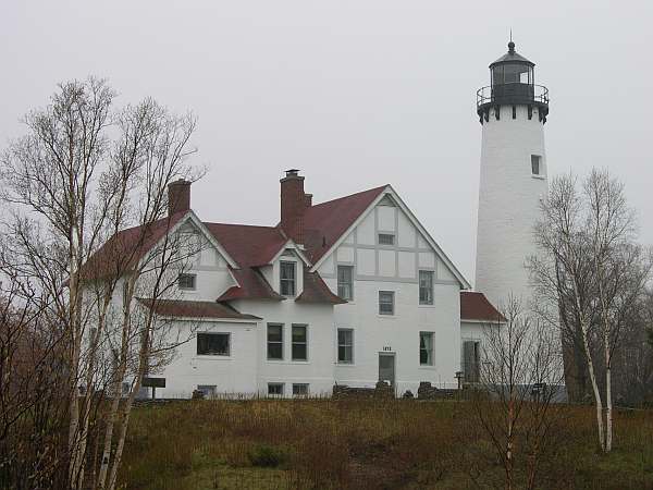 |
The Forest Service tuned the Point Iroquois light over to the Bay Mills-Brimley
Historical Research Society in 1983. Caretakers are rotated on an annual
basis. The current couple are from California. They applied for the position
5 years ago. The UP is quite a contrast from California, but a longtime
dream for them. The husband lived at the light for a while during the 50s
when his father was in the Coast Guard.
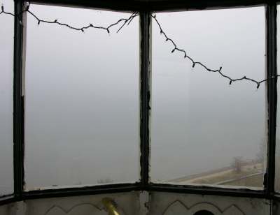
The tower is open to the public and I climbed the 72 steps, but with
the fog there was nothing to see.
Two sections of the building are open to the public, with the balance
occupied. The section next to the tower has two rooms restored to the 50s.
The other has a small museum and gift shop where I met the woman caretaker.
Among the exhibits is the fourth order Fresnel lens which was originally
at St. Martin's Reef light.
Not much of a few from the tower on a foggy day
|
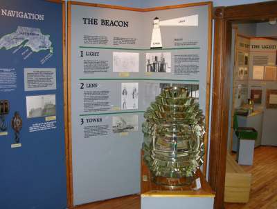
Fresnel lens from St. Martin's Reef light
|
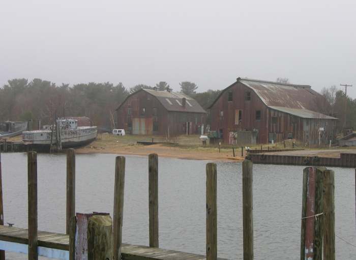 |
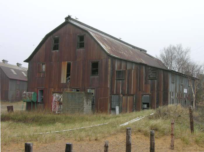
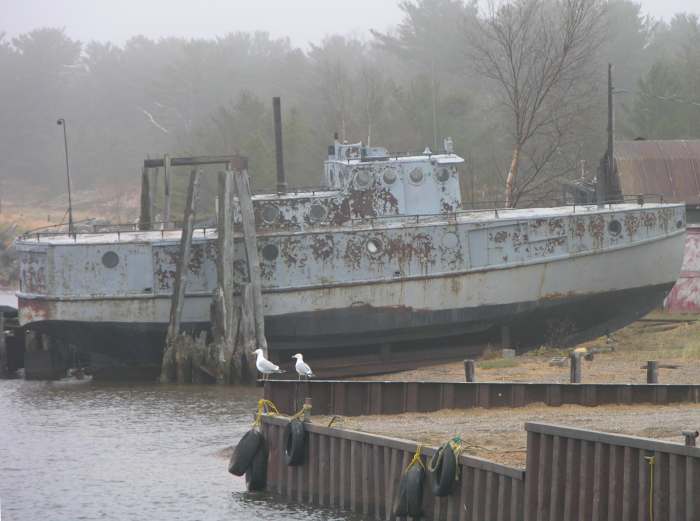
I continued along West Lakeshore Drive (also known as Whitefish Bay
Scenic Byway) then north on M-123 past the mouth of the Tahquamenon River
to Paradise. Then drove north to White Fish Point, stopping at White Fish
Point Harbor to photograph working and abandoned fishing vessels. |
|