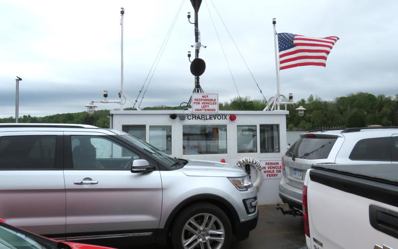
Ironton Ferry - Charlevoix, Michigan Ironton Ferry

9800 Ferry Road
East Jordan, Michigan 49727
(231) 308-3727 recorded message

Mid April until the day before Thanksgiving
6:30AM - 10:30PM.
Open until 11:30PM from
Memorial Day until Labor Day.

Ironton Ferry Map

Mighty Mac Home

Ironton Ferry
Ironton Ferry - Charlevoix, Michigan
Ferry service across the south arm of Lake Charlevoix began in about 1876 with a row boat skippered by Robert Bedwin who charged 5 cents per person. Vehicle ferry service began in 1883 when a cable was pulled by the operators and passengers. The first gasoline powered engine was installed in 1900.

The current vessel, Charlevoix, was built in 1926. Most people just call it the Ironton Ferry. The 50' long ferry is powered by a diesel hydraulic engine with propellers at each end. The cables serve as a guide and drop about 25' below the lake surface when the ferry passes. The Ironton Ferry carries up to 4 vehicles at a time and in 2007 carried about 65,000 cars.


Ironton Ferry East Landing - Lake Charlevoix
Vehicles pulling on to the Ironton Ferry at the east landing

Tahquamenon Falls with autumn colors
Tahquamenon Falls


Pictured Rocks National Lakeshore


Mackinac Island in Winter

UP Lighthouses Tahquamenon Falls & Whitefish Point

Straits of Mackinac Lighthouse Flight

Keith's other trips

Winter Straits of Mackinac Lighthouse tour flight
winter lighthouse

flight

Mackinac Bridge

Mightmac.org home
The fare is $3 for cars & motorcycles and $6 for a car with a trailer not over 16 feet long. Pedestrians are free and bicycles are $1. Cash only with no bills larger than a $20.

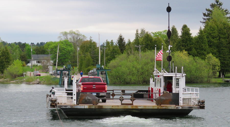
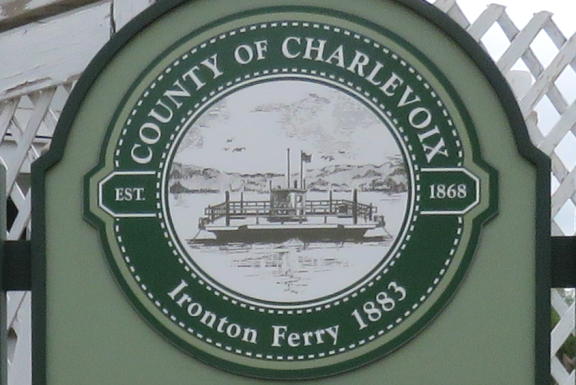
The Ironton Ferry is operated by the Charlevoix County Transportation Authority. Ferry service is provided from mid April until the day before Thanksgiving. The ferry provides a shortcut that saves about 
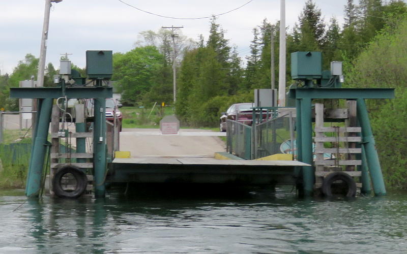
24 miles of driving. The ride across the Ironton Narrows is only 610 feet and takes less than 5 minutes, including loading and unloading.

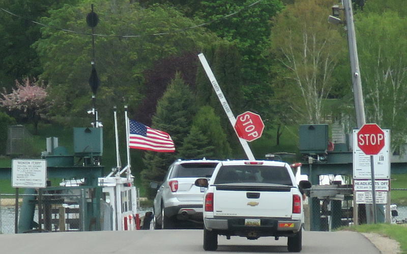
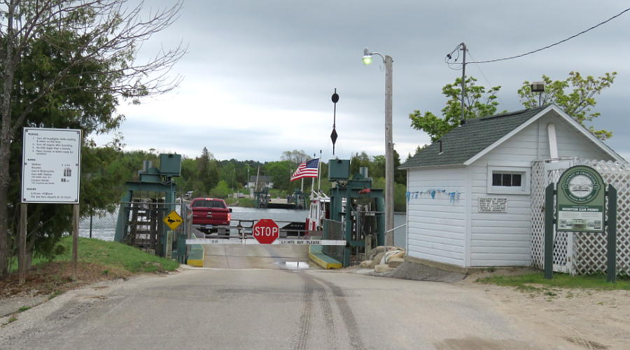
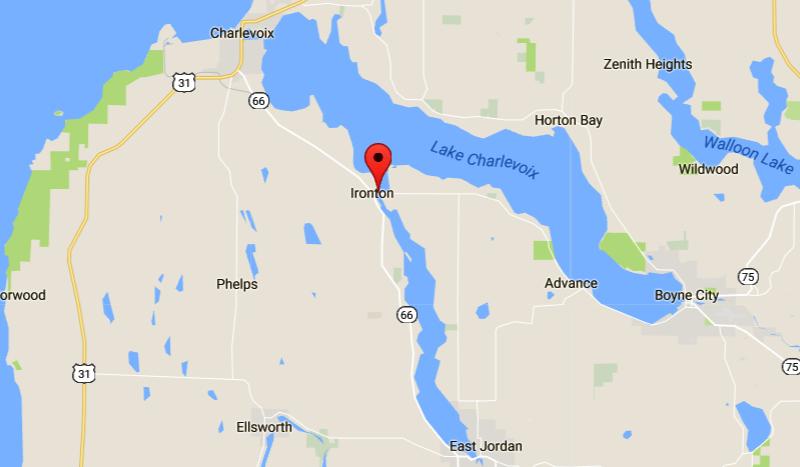
The ferry is located just off M-66, approximately 6 miles southeast of Charlevoix and 9 miles north of East Jordan. From the east side, it is approximately 9 miles west of Boyne City at the end of Ferry Road.

Captain Sam Alexander, who operated the ferry from the 1880s to the 1940s and lived nearby, was listed by Ripley's Believe It or Not for having traveled a distance equal to the circumference of the earth without ever being more than 1/4 mile from his home.


Riding the Ironton Ferry

Oronton Ferry pilot house
There is only room for 4 vehicles on the Ironton Ferry


The east landing from The Charlevoix (Ironton Ferry)

Ironton Ferry Landing - Lake Charlevoix
The west Ironton Ferry landing


The ferry returning to the the east

Ironton Ferry cable guide
Two cables guide the ferry across the Ironton Narrows

1884 Ironton Ferry tolls
"1884 Rates For Ferriage"

Ironton Ferry Map - Charlevoix, Michigan
Ironton Ferry Map
(The south arm of Lake Charlevoix was accidentally missing in the 1967 Official Michigan Highway map)

LS-6/17  Copyright 2017-2022 by Keith Stokes.